Nußdorf ob der Traisen | |
|---|---|
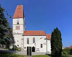 Nußdorf ob der Traisen parish church | |
 Coat of arms | |
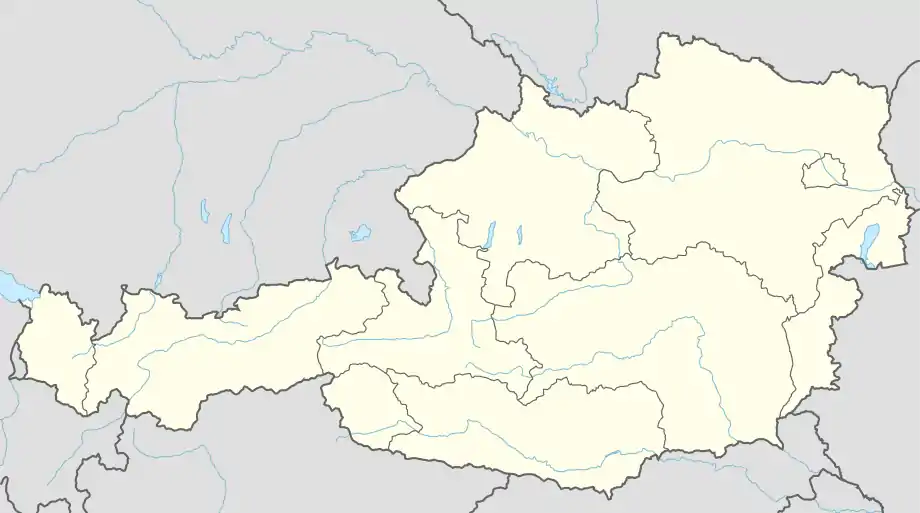 Nußdorf ob der Traisen Location within Austria | |
| Coordinates: 48°21′12″N 15°41′42″E / 48.35333°N 15.69500°E | |
| Country | Austria |
| State | Lower Austria |
| District | Sankt Pölten-Land |
| Government | |
| • Mayor | Heinz Konrath (SPÖ) |
| Area | |
| • Total | 15.5 km2 (6.0 sq mi) |
| Elevation | 249 m (817 ft) |
| Population (2018-01-01)[2] | |
| • Total | 1,758 |
| • Density | 110/km2 (290/sq mi) |
| Time zone | UTC+1 (CET) |
| • Summer (DST) | UTC+2 (CEST) |
| Postal code | 3134 |
| Area code | 02783 |
| Vehicle registration | PL |
| Website | www.nussdorf-traisen.gv.at |
Nußdorf ob der Traisen is a municipality in the district of Sankt Pölten-Land in Lower Austria, Austria.
Population
| Year | Pop. | ±% |
|---|---|---|
| 1971 | 1,294 | — |
| 1981 | 1,301 | +0.5% |
| 1991 | 1,446 | +11.1% |
| 2001 | 1,563 | +8.1% |
References
- ↑ "Dauersiedlungsraum der Gemeinden Politischen Bezirke und Bundesländer - Gebietsstand 1.1.2018". Statistics Austria. Retrieved 10 March 2019.
- ↑ "Einwohnerzahl 1.1.2018 nach Gemeinden mit Status, Gebietsstand 1.1.2018". Statistics Austria. Retrieved 9 March 2019.
This article is issued from Wikipedia. The text is licensed under Creative Commons - Attribution - Sharealike. Additional terms may apply for the media files.