Tápióbicske | |
|---|---|
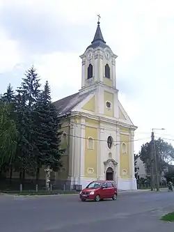 Church of the Immaculate Conception | |
 Flag  Coat of arms | |
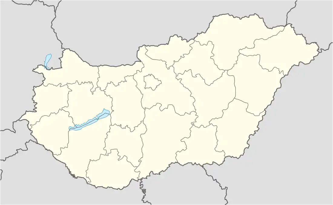 Tápióbicske Location of Tápióbicske in Hungary | |
| Coordinates: 47°21′43.96″N 19°41′12.37″E / 47.3622111°N 19.6867694°E | |
| Country | Hungary |
| Region | Central Hungary |
| County | Pest |
| District | Nagykáta |
| Rank | Village |
| Government | |
| • Mayor | Sándor Kanyó |
| Area | |
| • Total | 48.48 km2 (18.72 sq mi) |
| Population (1 January 2008)[2] | |
| • Total | 3,529 |
| • Density | 73/km2 (190/sq mi) |
| Time zone | UTC+1 (CET) |
| • Summer (DST) | UTC+2 (CEST) |
| Postal code | 2764 |
| Area code | +36 29 |
| KSH code | 15015[1] |
| Website | www.tapiobicske.hu |
Tápióbicske is a village in Pest county, Hungary.
The village was a site of the Battle of Tápióbicske in 1849.
References
- 1 2 Tápióbicske at the Hungarian Central Statistical Office (Hungarian).
- ↑ Tápióbicske at the Hungarian Central Statistical Office (Hungarian). 1 January 2008
| Towns (3) |
| |
|---|---|---|
| Large villages (2) | ||
| Villages (10) | ||

This article is issued from Wikipedia. The text is licensed under Creative Commons - Attribution - Sharealike. Additional terms may apply for the media files.