Střítež pod Křemešníkem | |
|---|---|
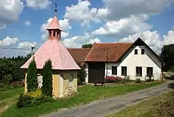 Chapel | |
 Flag  Coat of arms | |
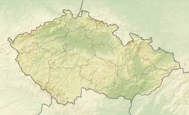 Střítež pod Křemešníkem Location in the Czech Republic | |
| Coordinates: 49°26′3″N 15°19′13″E / 49.43417°N 15.32028°E | |
| Country | |
| Region | Vysočina |
| District | Pelhřimov |
| First mentioned | 1379 |
| Area | |
| • Total | 3.74 km2 (1.44 sq mi) |
| Elevation | 584 m (1,916 ft) |
| Population (2023-01-01)[1] | |
| • Total | 63 |
| • Density | 17/km2 (44/sq mi) |
| Time zone | UTC+1 (CET) |
| • Summer (DST) | UTC+2 (CEST) |
| Postal code | 393 01 |
| Website | www |
Střítež pod Křemešníkem is a municipality and village in Pelhřimov District in the Vysočina Region of the Czech Republic. It has about 60 inhabitants.
Střítež pod Křemešníkem lies approximately 8 kilometres (5 mi) east of Pelhřimov, 21 km (13 mi) west of Jihlava, and 98 km (61 mi) south-east of Prague.
References
Wikimedia Commons has media related to Střítež pod Křemešníkem.
This article is issued from Wikipedia. The text is licensed under Creative Commons - Attribution - Sharealike. Additional terms may apply for the media files.