Santa Cecília | |
|---|---|
 | |
 Flag  Seal | |
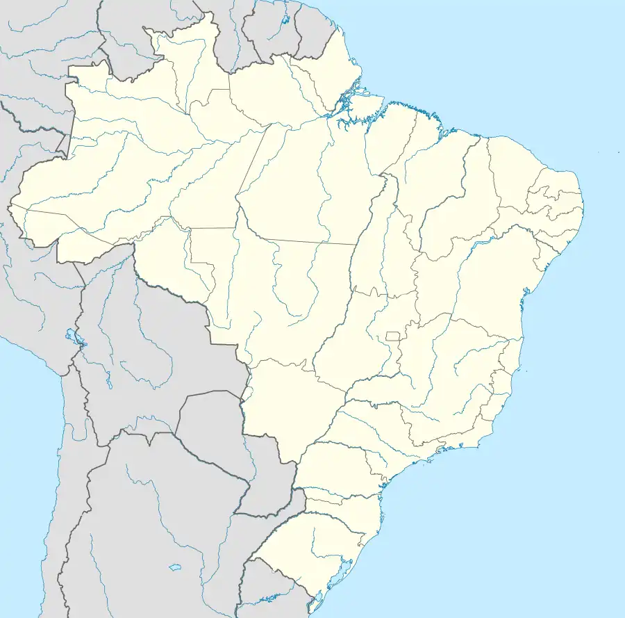
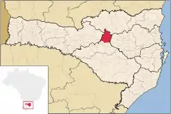 Location of Zortéa | |
 Santa Cecília | |
| Coordinates: 26°57′39″S 50°25′37″W / 26.96083°S 50.42694°W | |
| Country | |
| Region | South |
| State | |
| Founded | June 21, 1958 |
| Government | |
| • Mayor | João Rodoger de Medeiros (PFL) |
| Area | |
| • Total | 1,145.321 km2 (442.211 sq mi) |
| Elevation | 1,100 m (3,600 ft) |
| Population (2020 [1]) | |
| • Total | 16,918 |
| • Density | 14.3/km2 (37/sq mi) |
| Time zone | UTC-3 (UTC-3) |
| • Summer (DST) | UTC-2 (UTC-2) |
| HDI (2000) | 0.746 |
| Website | www.santacecilia.sc.gov.br |
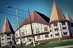
Santa Cecília is a city in Santa Catarina, in the Southern Region of Brazil. The municipality was created in 1958 out of the existing municipality of Curitibanos.[2]
References
- ↑ IBGE 2020
- ↑ "Lei promulgada nº 348" (in Portuguese). Legislação Estadual de Santa Catarina. 21 June 1958.
| |
| Campos de Lages | |
| Curitibanos | |
This article is issued from Wikipedia. The text is licensed under Creative Commons - Attribution - Sharealike. Additional terms may apply for the media files.