San Juan Bautista Valle Nacional | |
|---|---|
Municipality and town | |
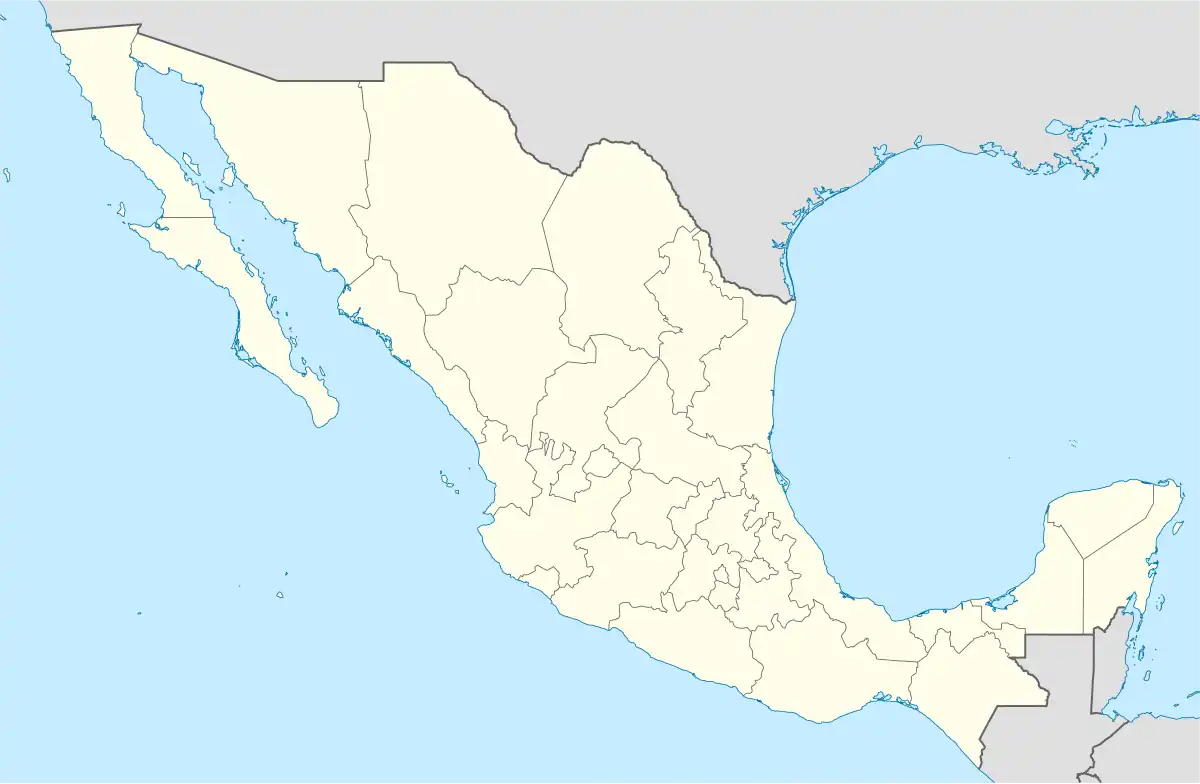 San Juan Bautista Valle Nacional Location in Mexico | |
| Coordinates: 17°46′00″N 96°18′00″W / 17.76667°N 96.30000°W | |
| Country | |
| State | Oaxaca |
| Founded | 1811 |
| Municipal Status | March 15, 1825 |
| Government | |
| • Municipal President | Marcelo Santos Meneces (2008–2010) |
| Area | |
| • Land | 394.23 km2 (152.21 sq mi) |
| Elevation | 60 m (200 ft) |
| Population (2005) | |
| • Total | 21,189 |
| Time zone | UTC-6 (Central Standard Time) |
| • Summer (DST) | UTC-5 (Central Daylight Time) |
San Juan Bautista Valle Nacional is a town and municipality in Oaxaca in south-western Mexico. The municipality covers an area of 394.23 km² within the Sierra Juárez mountains. It is part of the Tuxtepec District of the Papaloapan Region. The town lies on the north bank of the Valle Nacional River, a tributary of the Papaloapan River.
As of 2005, the municipality had a total population of 21,189.[1]
References
- ↑ "San Juan Bautista Valle Nacional". Enciclopedia de los Municipios de México. Instituto Nacional para el Federalismo y el Desarrollo Municipal. Retrieved February 27, 2010.
This article is issued from Wikipedia. The text is licensed under Creative Commons - Attribution - Sharealike. Additional terms may apply for the media files.