Saint-Maurice-en-Valgodemard | |
|---|---|
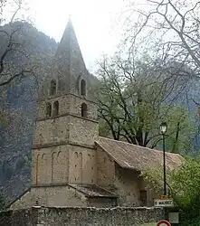 The church of Saint-Maurice-en-Valgodemard | |
Location of Saint-Maurice-en-Valgodemard | |
 Saint-Maurice-en-Valgodemard 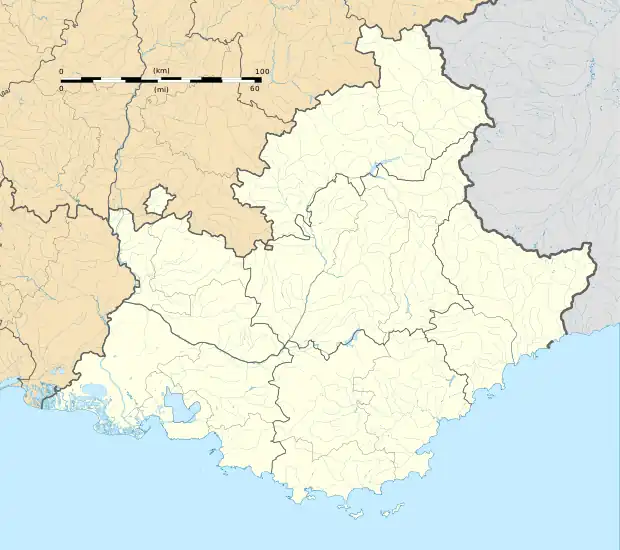 Saint-Maurice-en-Valgodemard | |
| Coordinates: 44°48′16″N 6°05′46″E / 44.8044°N 6.0961°E | |
| Country | France |
| Region | Provence-Alpes-Côte d'Azur |
| Department | Hautes-Alpes |
| Arrondissement | Gap |
| Canton | Saint-Bonnet-en-Champsaur |
| Government | |
| • Mayor (2020–2026) | Daniel Alluis[1] |
| Area 1 | 36.37 km2 (14.04 sq mi) |
| Population | 121 |
| • Density | 3.3/km2 (8.6/sq mi) |
| Time zone | UTC+01:00 (CET) |
| • Summer (DST) | UTC+02:00 (CEST) |
| INSEE/Postal code | 05152 /05800 |
| Elevation | 875–2,824 m (2,871–9,265 ft) (avg. 950 m or 3,120 ft) |
| 1 French Land Register data, which excludes lakes, ponds, glaciers > 1 km2 (0.386 sq mi or 247 acres) and river estuaries. | |
Saint-Maurice-en-Valgodemard is a commune in the Hautes-Alpes department in southeastern France.
Population
| Year | Pop. | ±% |
|---|---|---|
| 1962 | 132 | — |
| 1968 | 158 | +19.7% |
| 1975 | 141 | −10.8% |
| 1982 | 117 | −17.0% |
| 1990 | 143 | +22.2% |
| 1999 | 150 | +4.9% |
| 2008 | 134 | −10.7% |
See also
References
- ↑ "Répertoire national des élus: les maires". data.gouv.fr, Plateforme ouverte des données publiques françaises (in French). 2 December 2020.
- ↑ "Populations légales 2021". The National Institute of Statistics and Economic Studies. 28 December 2023.
Wikimedia Commons has media related to Saint-Maurice-en-Valgodemard.
This article is issued from Wikipedia. The text is licensed under Creative Commons - Attribution - Sharealike. Additional terms may apply for the media files.