Saint-Georges-Lagricol | |
|---|---|
Commune | |
 | |
Location of Saint-Georges-Lagricol | |
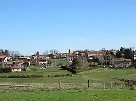
 Saint-Georges-Lagricol  Saint-Georges-Lagricol | |
| Coordinates: 45°17′56″N 3°53′13″E / 45.2989°N 3.8869°E | |
| Country | France |
| Region | Auvergne-Rhône-Alpes |
| Department | Haute-Loire |
| Arrondissement | Le Puy-en-Velay |
| Canton | Plateau du Haut-Velay granitique |
| Intercommunality | CA du Puy-en-Velay |
| Government | |
| • Mayor (2020–2026) | André Roche[1] |
| Area 1 | 19.17 km2 (7.40 sq mi) |
| Population | 520 |
| • Density | 27/km2 (70/sq mi) |
| Time zone | UTC+01:00 (CET) |
| • Summer (DST) | UTC+02:00 (CEST) |
| INSEE/Postal code | 43189 /43500 |
| Elevation | 743–963 m (2,438–3,159 ft) (avg. 850 m or 2,790 ft) |
| 1 French Land Register data, which excludes lakes, ponds, glaciers > 1 km2 (0.386 sq mi or 247 acres) and river estuaries. | |
Saint-Georges-Lagricol (French pronunciation: [sɛ̃ ʒɔʁʒ laɡʁikɔl]; Occitan: Sent Jòrdi l'Agricòl) is a commune in the Haute-Loire department in south-central France.[3]
Population
| Year | Pop. | ±% p.a. |
|---|---|---|
| 1968 | 446 | — |
| 1975 | 447 | +0.03% |
| 1982 | 411 | −1.19% |
| 1990 | 400 | −0.34% |
| 1999 | 411 | +0.30% |
| 2009 | 491 | +1.79% |
| 2014 | 523 | +1.27% |
| 2020 | 520 | −0.10% |
| Source: INSEE[4] | ||
See also
References
- ↑ "Répertoire national des élus: les maires". data.gouv.fr, Plateforme ouverte des données publiques françaises (in French). 2 December 2020.
- ↑ "Populations légales 2021". The National Institute of Statistics and Economic Studies. 28 December 2023.
- ↑ INSEE commune file
- ↑ Population en historique depuis 1968, INSEE
Wikimedia Commons has media related to Saint-Georges-Lagricol.
This article is issued from Wikipedia. The text is licensed under Creative Commons - Attribution - Sharealike. Additional terms may apply for the media files.