Rochester Heights Historic District | |
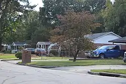 Houses on Hadley Drive | |
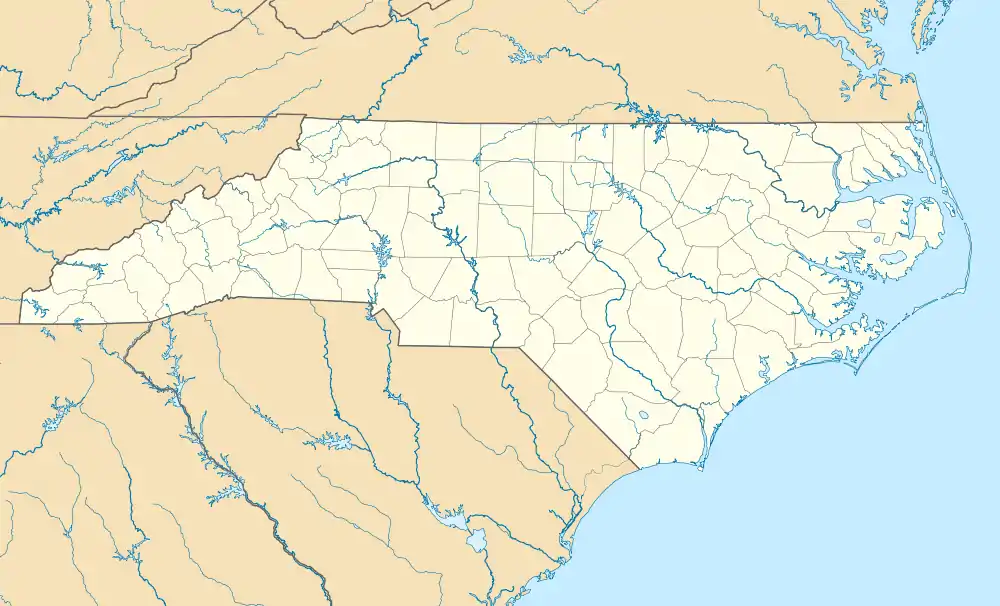  | |
| Location | Roughly bounded by Bailey Dr., Boaz Rd., Calloway Dr., and Garner Rd., Raleigh, North Carolina |
|---|---|
| Coordinates | 35°45′16″N 78°37′40″W / 35.75444°N 78.62778°W |
| Area | 39 acres (16 ha) |
| Built | 1957-1964 |
| Architect | Millard R. Peebles, Sidney Cooley, Willis Hunter |
| Architectural style | Ranch; Split Level |
| MPS | Post-World War II and Modern Architecture in Raleigh, North Carolina, 1945-1965 |
| NRHP reference No. | 11000893[1] |
| Added to NRHP | December 7, 2011 |
Rochester Heights Historic District is a historic post-World War II neighborhood and national historic district located 1+1⁄2 miles southeast of downtown Raleigh, North Carolina. The district encompasses 137 contributing buildings and 1 contributing structure and was developed between about 1957 and 1964. The homes are predominantly constructed in the Ranch and Split-level home styles.[2]
It was listed on the National Register of Historic Places in December 2011.[1]
References
- 1 2 "National Register of Historic Places Listings". Weekly List of Actions Taken on Properties: 12/05/11 through 12/09/11. National Park Service. December 16, 2011.
- ↑ Sybil H. Argintar (June 2011). "Rochester Heights Historic District" (pdf). National Register of Historic Places - Nomination and Inventory. North Carolina State Historic Preservation Office. Retrieved June 1, 2015.
External links
- National Register Historic Districts in Raleigh, North Carolina, RHDC
- Rochester Heights Historic District, RHDC
This article is issued from Wikipedia. The text is licensed under Creative Commons - Attribution - Sharealike. Additional terms may apply for the media files.