| Rivière à la Truite | |
|---|---|
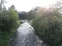 Rivière à la Truite at its confluence with the Chaudière River. | |
 | |
| Location | |
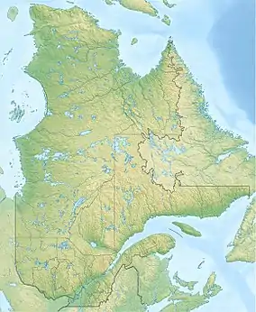
| Country | Canada |
| Province | Quebec |
| Region | Chaudière-Appalaches |
| MRC | Beauce-Sartigan Regional County Municipality |
| Physical characteristics | |
| Source | Agricultural streams |
| • location | Saint-René |
| • coordinates | 45°57′29″N 70°33′22″W / 45.958151°N 70.556152°W |
| • elevation | 407 metres (1,335 ft) |
| Mouth | Chaudière River |
• location | Saint-Martin |
• coordinates | 45°54′02″N 70°38′03″W / 45.90055°N 70.63416°W |
• elevation | 235 metres (771 ft) |
| Length | 12.0 kilometres (7.5 mi) |
| Basin size | 47.9 kilometres (29.76 mi) |
| Basin features | |
| Progression | Chaudière River, St. Lawrence River |
| River system | St. Lawrence River |
| Tributaries | |
| • left | (upstream) Petite rivière à la Truite, ruisseau Fortier |
| • right | (upstream) ruisseau Jos-Cliche, ruisseau Blais |
The rivière à la Truite (in English: Trout river) is a tributary of the east bank of the Chaudière River, which flows northward to empty on the south bank of the St. Lawrence River.
Toponymy
The toponym “rivière à la Truite” was made official on December 5, 1968, at the Commission de toponymie du Québec.[1]
See also
References
This article is issued from Wikipedia. The text is licensed under Creative Commons - Attribution - Sharealike. Additional terms may apply for the media files.