Raková | |
|---|---|
.jpg.webp) Chapel in Raková | |
_Flag.jpg.webp) Flag _CoA.png.webp) Coat of arms | |
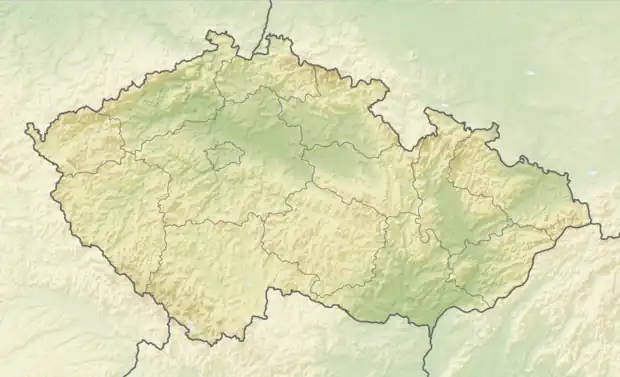 Raková Location in the Czech Republic | |
| Coordinates: 49°42′2″N 13°34′55″E / 49.70056°N 13.58194°E | |
| Country | |
| Region | Plzeň |
| District | Rokycany |
| First mentioned | 1319 |
| Area | |
| • Total | 5.44 km2 (2.10 sq mi) |
| Elevation | 460 m (1,510 ft) |
| Population (2023-01-01)[1] | |
| • Total | 239 |
| • Density | 44/km2 (110/sq mi) |
| Time zone | UTC+1 (CET) |
| • Summer (DST) | UTC+2 (CEST) |
| Postal code | 337 01 |
| Website | www |
Raková is a municipality and village in Rokycany District in the Plzeň Region of the Czech Republic. It has about 200 inhabitants.
Raková lies approximately 6 kilometres (4 mi) south of Rokycany, 16 km (9.9 mi) east of Plzeň, and 75 km (47 mi) south-west of Prague.
References
Wikimedia Commons has media related to Raková (Rokycany District).
This article is issued from Wikipedia. The text is licensed under Creative Commons - Attribution - Sharealike. Additional terms may apply for the media files.