| Pematang Panggang–Kayuagung Toll Road | |
|---|---|
 | |
| Route information | |
| Part of | |
| Maintained by PT Hutama Karya (Persero) | |
| Length | 87 km (54 mi) |
| Existed | 2019–present |
| Major junctions | |
| South end | Simpang Pematang |
| North end | Kayu Agung |
| Location | |
| Country | Indonesia |
| Provinces | |
| Major cities | |
| Highway system | |
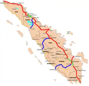
Pematang Panggang–Kayuagung Toll Road is a 87-kilometre-long (54 mi) toll road that connects Pematang Panggang to Kayuagung in the island of Sumatra, Indonesia.[1] This toll road is part of a network of Trans-Sumatra Toll Road, and is a continuation of the Terbanggi Besar–Pematang Panggang Toll Road and it is connected to the Kayu Agung–Palembang–Betung Toll Road.[2]
Exits
| Province | Location | km | mi | Exit | Name | Destinations | Notes |
|---|---|---|---|---|---|---|---|
| Lampung | Simpang Pematang, Mesuji Regency | 239.6 | 148.9 | ||||
| 240.2 | 149.3 | 239 | Simpang Pematang Toll Gate |
| Southern terminus | ||
| South Sumatra | Kayu Agung, Ogan Komering Ilir Regency | 329.1 | 204.5 | 329 | Kayuagung Toll Gate |
| Northern terminus |
| 330.0 | 205.1 | Kayuagung Utama Toll Gate | |||||
| 330.2 | 205.2 | ||||||
1.000 mi = 1.609 km; 1.000 km = 0.621 mi
| |||||||
See also
References
- ↑ "Nine toll roads stretching 406 kilometers to be launched this year". The Jakarta Post. Retrieved 3 September 2019.
- ↑ "April 2019 Jalan Tol Pematang Panggang-Kayuagung (PPKA) Bisa Dilintasi". Tribun Sumsel (in Indonesian). Retrieved 2019-09-03.
This article is issued from Wikipedia. The text is licensed under Creative Commons - Attribution - Sharealike. Additional terms may apply for the media files.