Nyáregyháza | |
|---|---|
Village | |
.jpg.webp) | |
 Flag  Coat of arms | |
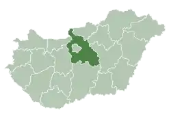
 Nyáregyháza Location of Nyáregyháza | |
| Coordinates: 47°15′42″N 19°30′32″E / 47.26156°N 19.50895°E | |
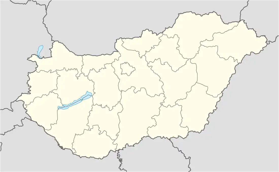
| Country | Hungary |
| Region | Central Hungary |
| County | Pest |
| District | Monor |
| Area | |
| • Total | 32 km2 (12 sq mi) |
| Population (1 January 2023)[1] | |
| • Total | 3,798 |
| • Density | 120/km2 (310/sq mi) |
| Time zone | UTC+1 (CET) |
| • Summer (DST) | UTC+2 (CEST) |
| Postal code | 2723 |
| Area code | (+36) 29 |
| KSH code | 23038[2] |
| Website | www |
References
- ↑ Error: Unable to display the reference properly. See the documentation for details.
- ↑ Nyáregyháza at the Hungarian Central Statistical Office (Hungarian).
47°15′N 19°30′E / 47.250°N 19.500°E
This article is issued from Wikipedia. The text is licensed under Creative Commons - Attribution - Sharealike. Additional terms may apply for the media files.