Mores Island Airport | |||||||||||
|---|---|---|---|---|---|---|---|---|---|---|---|
| Summary | |||||||||||
| Airport type | Public | ||||||||||
| Serves | Moore's Island | ||||||||||
| Location | Bahamas | ||||||||||
| Elevation AMSL | 10 ft / 3 m | ||||||||||
| Coordinates | 26°19′4.5″N 77°33′44.3″W / 26.317917°N 77.562306°W | ||||||||||
| Map | |||||||||||
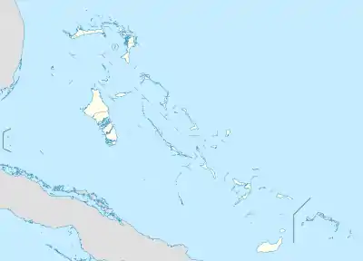 MYAO Location of Mores Island Airport in the Bahamas | |||||||||||
| Runways | |||||||||||
| |||||||||||
Mores Island Airport (ICAO: MYAO) is a public use airport located near Moore's Island, the Bahamas.
Airlines and destinations
| Airlines | Destinations |
|---|---|
| Flamingo Air | Freeport |
See also
References
- ↑ Airport record for Mores Island Airport at Landings.com. Retrieved 2013-08-08
- ↑ Google (2013-08-08). "location of Mores Island Airport" (Map). Google Maps. Google. Retrieved 2013-08-08.
External links
- Airport record for Mores Island Airport at Landings.com
This article is issued from Wikipedia. The text is licensed under Creative Commons - Attribution - Sharealike. Additional terms may apply for the media files.