Montaure | |
|---|---|
Part of Terres de Bord | |
Location of Montaure | |
 Montaure 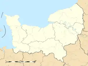 Montaure | |
| Coordinates: 49°14′10″N 1°05′16″E / 49.2361°N 1.0878°E | |
| Country | France |
| Region | Normandy |
| Department | Eure |
| Arrondissement | Les Andelys |
| Canton | Pont-de-l'Arche |
| Commune | Terres de Bord |
| Area 1 | 10.16 km2 (3.92 sq mi) |
| Population (2019)[1] | 1,044 |
| • Density | 100/km2 (270/sq mi) |
| Time zone | UTC+01:00 (CET) |
| • Summer (DST) | UTC+02:00 (CEST) |
| Postal code | 27400 |
| Elevation | 65–159 m (213–522 ft) (avg. 141 m or 463 ft) |
| 1 French Land Register data, which excludes lakes, ponds, glaciers > 1 km2 (0.386 sq mi or 247 acres) and river estuaries. | |
Montaure (French pronunciation: [mɔ̃tɔʁ]) is a former commune in the Eure department in Normandy in northern France. On 1 January 2017, it was merged into the new commune Terres de Bord.[2]
Population
|
|
See also
References
- ↑ Téléchargement du fichier d'ensemble des populations légales en 2019, INSEE
- ↑ Arrêté préfectoral 16 December 2016 (in French)
Wikimedia Commons has media related to Montaure.
This article is issued from Wikipedia. The text is licensed under Creative Commons - Attribution - Sharealike. Additional terms may apply for the media files.