Madhapur | |
|---|---|
Village | |
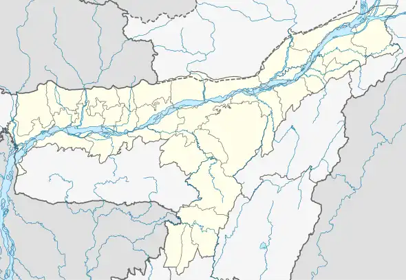 Madhapur Map of Assam 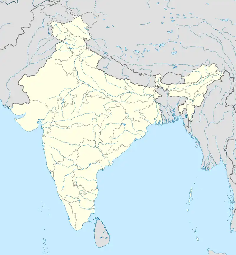 Madhapur Madhapur (India) | |
| Coordinates: 26°24′11″N 91°27′37″E / 26.4031°N 91.4604°E | |
| Country | |
| State | Assam |
| District | Nalbari |
| Subdivision | Nalbari |
| Gram Panchayat | Dakhin Bahjani |
| Area | |
| • Total | 250.565 ha (619.160 acres) |
| Population (2011) | |
| • Total | 3,100 |
| • Density | 1,200/km2 (3,200/sq mi) |
| Languages | |
| • Official | Assamese |
| Time zone | UTC+5:30 (IST) |
| Postal code | 781346[1] |
| STD Code | 03624 |
| Vehicle registration | AS-14 |
| Census code | 303973 |
Madhapur is a census village in Nalbari district, Assam, India.[2] As per the 2011 Census of India, Madhapur village has a total population of 3,100 people including 1,586 males and 1,514 females with a literacy rate of 69.19%.[3]
References
- ↑ "MADHAPUR Pin Code". news.abplive.com. Retrieved 13 August 2022.
- ↑ "The Bankers' almanac and year book". The Bankers' almanac and year book. West Sussex, England : Thomas Skinner Directories ; New York, N.Y. : IPC Business Press: 2943. 1920. ISSN 0067-379X.
- ↑ "POPULATION BREAKUP AS PER CENSUS-2011" (PDF). Government of Assam | Nalbari District. Archived (PDF) from the original on 3 July 2022. Retrieved 18 July 2022.
This article is issued from Wikipedia. The text is licensed under Creative Commons - Attribution - Sharealike. Additional terms may apply for the media files.