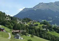
Bartholomäberg | |
|---|---|
 | |
 Coat of arms | |
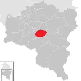 Location in the district | |
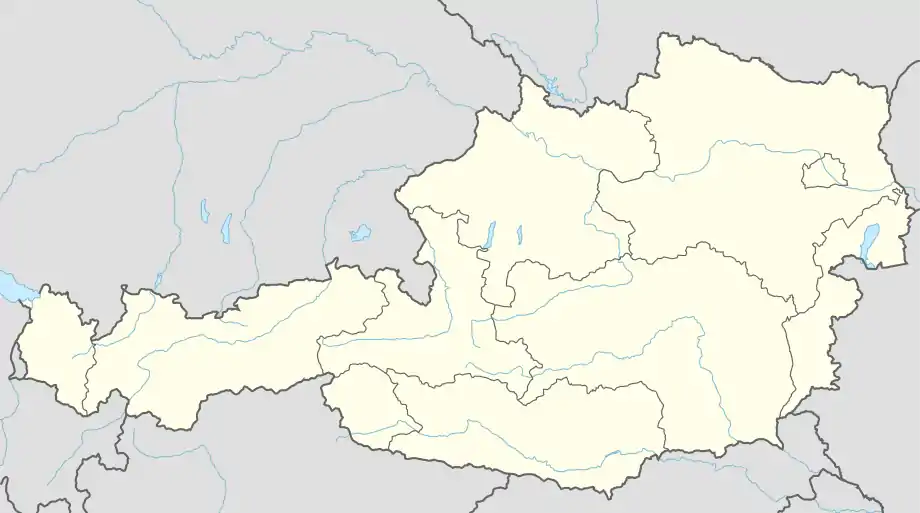 Bartholomäberg Location within Austria | |
| Coordinates: 47°05′N 09°54′E / 47.083°N 9.900°E | |
| Country | Austria |
| State | Vorarlberg |
| District | Bludenz |
| Government | |
| • Mayor | Martin Vallaster |
| Area | |
| • Total | 27.3 km2 (10.5 sq mi) |
| Elevation | 1,087 m (3,566 ft) |
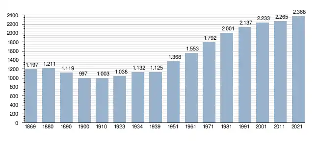
| Population (2018-01-01)[2] | |
| • Total | 2,352 |
| • Density | 86/km2 (220/sq mi) |
| Time zone | UTC+1 (CET) |
| • Summer (DST) | UTC+2 (CEST) |
| Postal code | 6781 |
| Website | http://www.bartholomaeberg.at |
Bartholomäberg is a municipality and a village in the district of Bludenz in the Austrian state of Vorarlberg.
Population
References
- ↑ "Dauersiedlungsraum der Gemeinden Politischen Bezirke und Bundesländer - Gebietsstand 1.1.2018". Statistics Austria. Retrieved 10 March 2019.
- ↑ "Einwohnerzahl 1.1.2018 nach Gemeinden mit Status, Gebietsstand 1.1.2018". Statistics Austria. Retrieved 9 March 2019.
This article is issued from Wikipedia. The text is licensed under Creative Commons - Attribution - Sharealike. Additional terms may apply for the media files.