| Aubette de Meulan | |
|---|---|
 | |
  | |
| Location | |
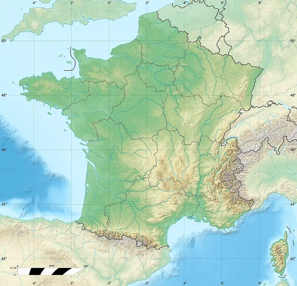
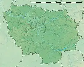
| Country | France |
| Physical characteristics | |
| Source | |
| • location | French Vexin |
| • elevation | 119 m (390 ft) |
| Mouth | |
• location | Seine |
• coordinates | 49°00′13″N 1°54′19″E / 49.0037°N 1.9053°E |
| Length | 20 km (12 mi) |
| Basin size | 147 km2 (57 sq mi) |
| Basin features | |
| Progression | Seine→ English Channel |
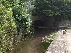
Aubette de Meulan (French pronunciation: [obɛt də mølɑ̃], literally Aubette of Meulan) is a French river that begins at Avernes in Val-d'Oise, flows through Vigny, and empties into the Seine in Meulan-en-Yvelines.[1] One commune is named after this river: Tessancourt-sur-Aubette (Yvelines).
It is 20 km long.[1]
References
- 1 2 (in French) Sandre. "Fiche cours d'eau - L'Aubette (H3010600)".
This article is issued from Wikipedia. The text is licensed under Creative Commons - Attribution - Sharealike. Additional terms may apply for the media files.