Antrim, Pennsylvania | |
|---|---|
Unincorporated community | |
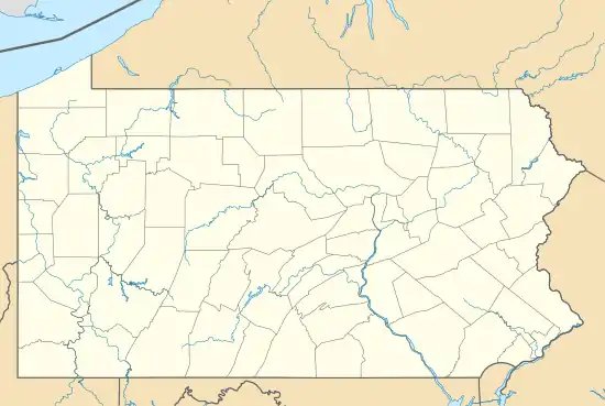
 Church in Antrim with apartment for rent | |
 Antrim, Pennsylvania | |
| Coordinates: 41°38′02″N 77°17′13″W / 41.63389°N 77.28694°W | |
| Country | United States |
| State | Pennsylvania |
| County | Tioga |
| Elevation | 1,654 ft (504 m) |
| Time zone | UTC-5 (Eastern (EST)) |
| • Summer (DST) | UTC-4 (EDT) |
| ZIP | 16901 |
| Area code | 570 |
| GNIS feature ID | 1168343[1] |
Antrim is an unincorporated community in Duncan Township, Tioga County, in the U.S. state of Pennsylvania.[1] It lies slightly east of Pennsylvania Route 287 between Williamsport and Wellsboro.[2]
References
- 1 2 3 "Antrim". Geographic Names Information System. United States Geological Survey, United States Department of the Interior. August 2, 1979. Retrieved September 9, 2012.
- ↑ United States Geological Survey. "United States Topographic Map". TopoQuest. Retrieved September 6, 2012..
Municipalities and communities of Tioga County, Pennsylvania, United States | ||
|---|---|---|
| Boroughs | 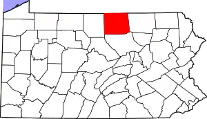 | |
| Townships | ||
| CDPs | ||
| Unincorporated communities | ||
This article is issued from Wikipedia. The text is licensed under Creative Commons - Attribution - Sharealike. Additional terms may apply for the media files.