Łady | |
|---|---|
Village | |
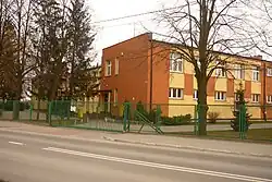 Primary school in Łady | |
 Łady | |
| Coordinates: 52°7′32″N 20°57′21″E / 52.12556°N 20.95583°E | |
| Country | |
| Voivodeship | Masovian |
| County | Pruszków |
| Gmina | Raszyn |
| Population | 330[1] |
| Time zone | UTC+1 (CET) |
| • Summer (DST) | UTC+2 (CEST) |
| Vehicle registration | WPR |
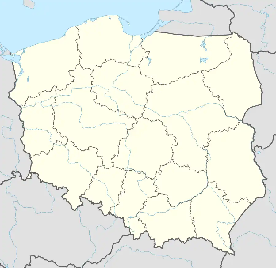
Łady [ˈwadɨ] is a village in the administrative district of Gmina Raszyn, within Pruszków County, Masovian Voivodeship, in east-central Poland.[2] It lies approximately 5 kilometres (3 mi) south-east of Raszyn, 12 km (7 mi) south-east of Pruszków, and 11 km (7 mi) south of Warsaw.
In 1827, the village had a population of 60.[3]
References
- ↑ "Wieś Łady - podstawowe informacje". Polska w liczbach. Retrieved 31 January 2023.
- ↑ "Central Statistical Office (GUS) - TERYT (National Register of Territorial Land Apportionment Journal)" (in Polish). 2008-06-01.
- ↑ Słownik geograficzny Królestwa Polskiego i innych krajów słowiańskich, Tom V (in Polish). Warsaw. 1884. p. 568.
{{cite book}}: CS1 maint: location missing publisher (link)
| Seat | ||
|---|---|---|
| Other villages | ||
This article is issued from Wikipedia. The text is licensed under Creative Commons - Attribution - Sharealike. Additional terms may apply for the media files.