Munébrega | |
|---|---|
.JPG.webp) | |
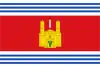 Flag 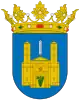 Seal | |
 Munébrega Location in Spain. 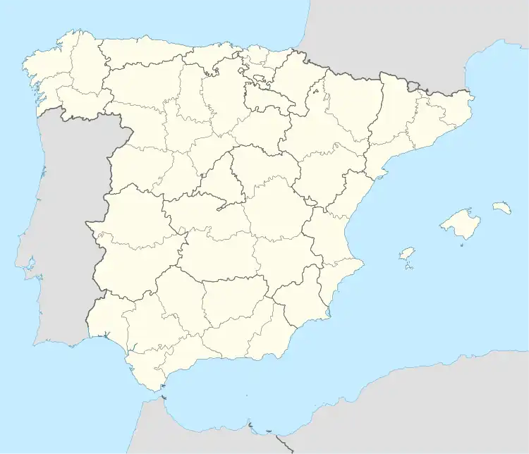 Munébrega Munébrega (Spain) 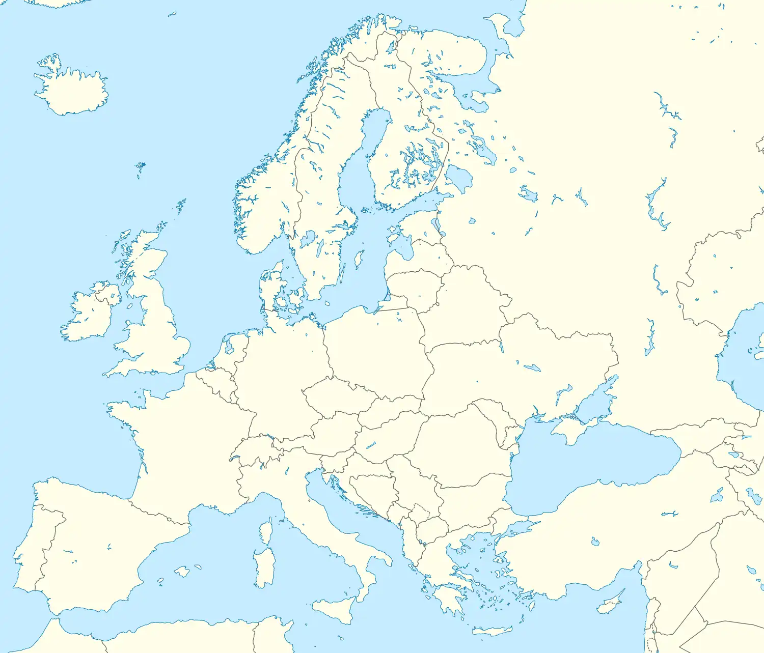 Munébrega Munébrega (Europe) | |
| Coordinates: 41°15′N 1°42′W / 41.250°N 1.700°W | |
| Country | |
| Autonomous community | |
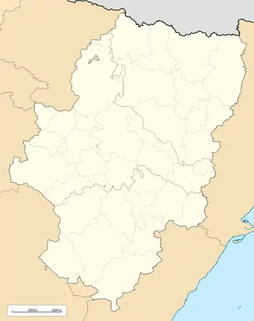
| Province | Zaragoza |
| Comarca | Comunidad de Calatayud |
| Area | |
| • Total | 40.99 km2 (15.83 sq mi) |
| Population (2018)[1] | |
| • Total | 385 |
| • Density | 9.4/km2 (24/sq mi) |
| Demonym | Munebreganos or Zarandillos |
| Time zone | UTC+1 (CET) |
| • Summer (DST) | UTC+2 (CEST) |
| Website | Official website |
Munébrega is a municipality located in the province of Zaragoza, Aragon, eastern Spain.
References
- ↑ Municipal Register of Spain 2018. National Statistics Institute.
This article is issued from Wikipedia. The text is licensed under Creative Commons - Attribution - Sharealike. Additional terms may apply for the media files.