Lane City, Nevada | |
|---|---|
Ghost town | |
 Lane City, Nevada | |
| Coordinates: 39°15′36″N 114°55′52″W / 39.26000°N 114.93111°W | |
| Country | United States |
| State | Nevada |
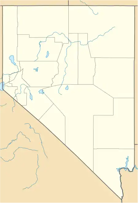
| County | White Pine |
| Elevation | 6,598 ft (2,011 m) |
| Time zone | UTC-8 (Mountain (MST)) |
| • Summer (DST) | UTC-7 (PDT) |
| Area code | 775 |
| GNIS ID | 845529 |
Lane City or Mineral City was a settlement in White Pine County, Nevada. It is now a ghost town.
A mining camp was founded in 1869 just west of Ely, Nevada, and named Mineral City until 1876.[1] Since Mineral City lay on the Central Overland Route, a stagecoach stop followed, and by 1872, the boomtown had a post office and more than 600 inhabitants.[1] In 1896 the town was renamed Lane City for Charles D. Lane, following his purchase of Chainman, a major local mining and milling operation. Lane City continued into the twentieth century, but as of 2014 the town (lying along what is now US 50) is abandoned and only a few structures and foundations remain.
References
- 1 2 Lane City, Nevada. Greatbasinheritage.org.
This article is issued from Wikipedia. The text is licensed under Creative Commons - Attribution - Sharealike. Additional terms may apply for the media files.